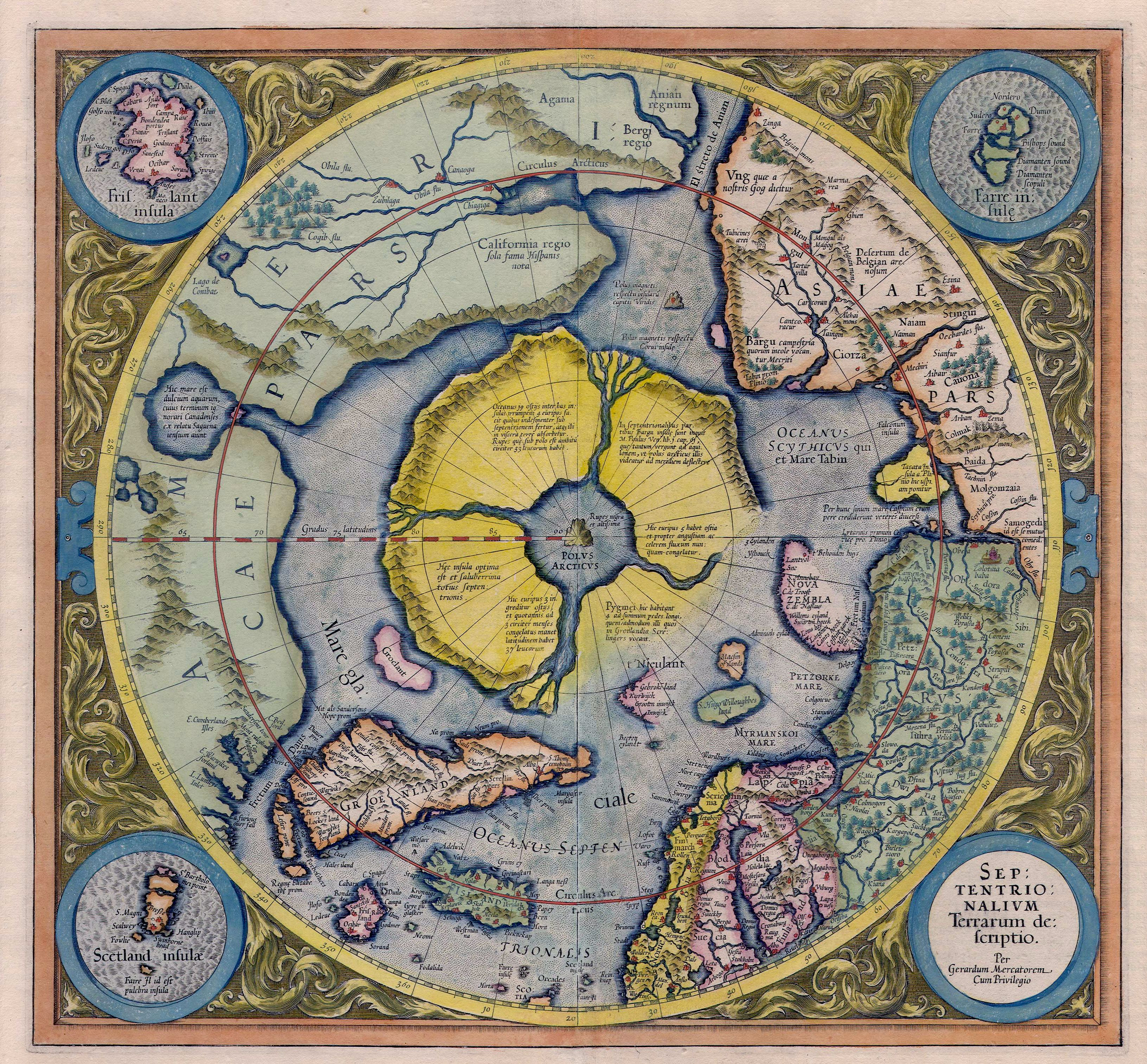
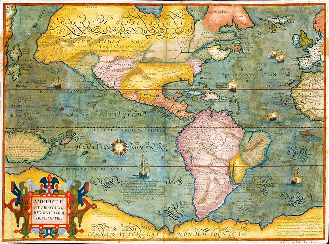
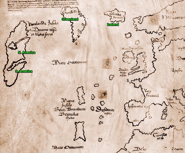
I've always been intrigued by the missing "Friesland" (aka Frisland, Frischlant, Friesland, Frislanda, Frislandia, or Fixland) island as found in ancient maps such as Mercator's 1623 Arctic Map.
Ephraimite's remarks about how "selling an explorer a bad map could cost your reputation, your career, and maybe even your life" has weighed heavily on my thoughts over the last few weeks. It lends much more significance and credence to these old maps that so many gloss over or seem to just think they were in error.
Mercator was a pretty darn good map maker. If you ignore the textual information and simply look at his maps, he did a pretty amazing job for the time: https://en.wikipedia.org/wiki/Gerardus_Mercator
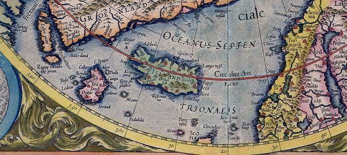
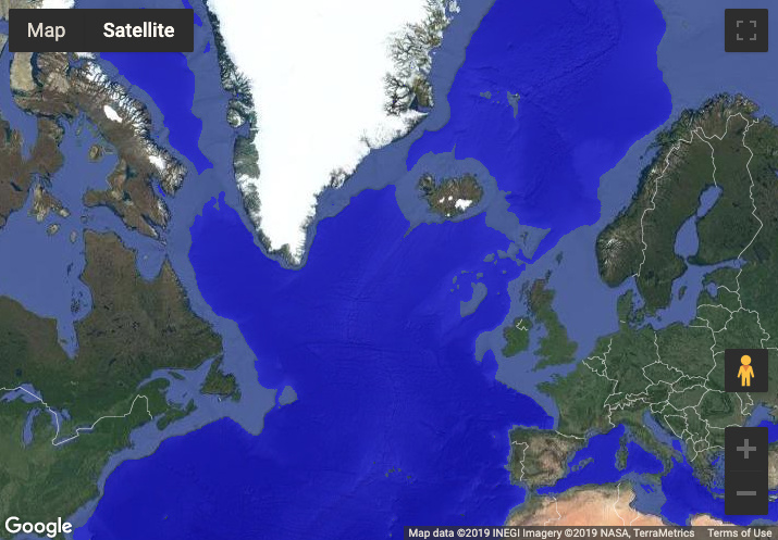
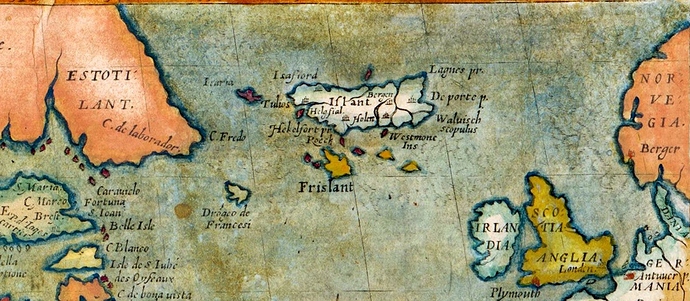
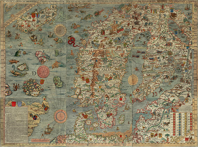
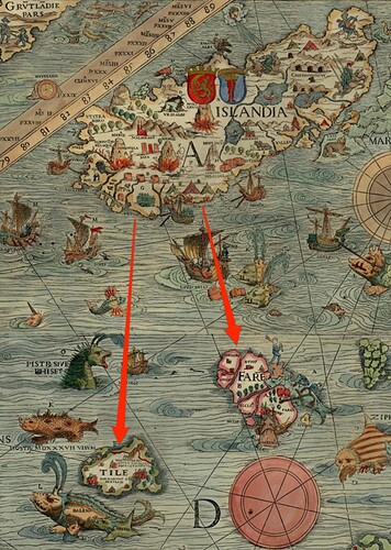
Just check out the Northern Europe + North Atlantic aspects of this oft referenced map:
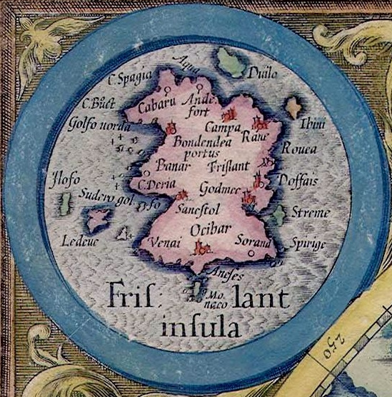
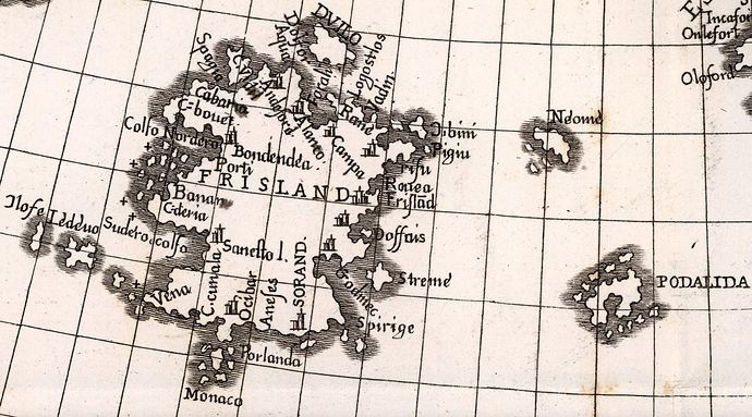
Zoom into Friesland:
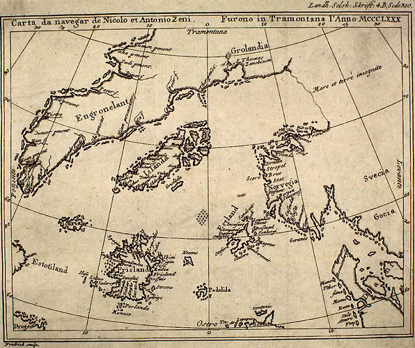
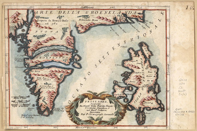
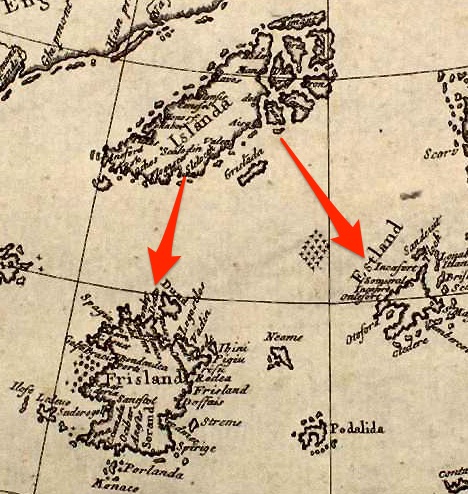
Look at The 1558 Zeno Map showing Frisland at lower left ( A reproduction of the Zeno map (original by Nicolo Zeno 1558) published by Henrich Peter von Eggers in the 1793 book Priisskrift om Grønlands Østerbygds sande Beliggenhed)
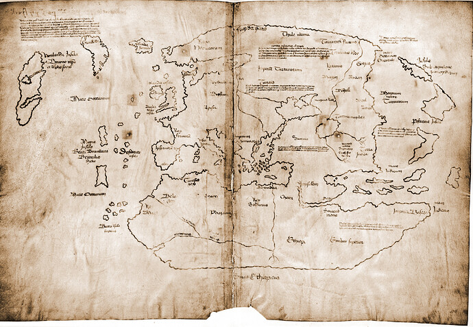
And then this December 1691 / January 692 map:
Jimmy's recent video (Bright Insight) with remarks about water level differences of around -400 and even perhaps close to -750 or lower levels got me thinking.
What They Found Hidden Beneath the Waves…Lost Ancient Underwater Ruins, Cities & Civilizations
Fortunately the developer from FloodMap.net implemented NEGATIVE value lookup and it allows us to play around with these lower sea levels: https://www.floodmap.net/ - I found punching some of these lower sea levels to give some interesting observations:
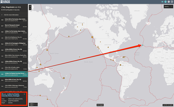
Ultimately, though, I started having thoughts about the earthquakes from yesterday:
Especially the map that reveals the juncture of 3 fault lines in the middle of the Atlantic Ocean:
Both the Book of Mormon passages about the tremendous destruction in the Americas AND this topic of Friesland were brought to the front of my mind when I watched Jimmy's video. Notice how, in 3 Nephi 8-9, there is so much discussion about how so many cities were destroyed by low places / valleys being raised up to become mountains and mountains being swallowed up to become low places!
It appears that all of this happened around fault lines that might also be connected to this Atlantic Ocean region.
Did something happen where Friesland was swallowed up or obliterated in some unknown catastrophic event? Any thoughts?
I have a feeling that a lot of our geological / seismic hypotheses and modeling are basically garbage since we do not have a long enough of a proper timeline to really view and understand things in proper context and this becomes even more poignant since the glacial hypothesis is garbage.

