Wow folks, I was quite impressed by the 1971 map from Marie Tharp:
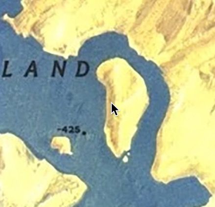
I really don't know if there's anything to this, but I found the rendering from Tharp of Greenland and the islands and shapes to be fascinating in relation to Iceland and Greenland and some similar shaped areas:

If things were wrongly rotated or explorers were confused with their locations and so forth, could they perhaps have gotten confused and charted Friesland as an island on the inner bay of Greenland when there was no ice there? Or perhaps the bay's inlet / mouth? Or something else here?
Take a look:

Could Hayes Peninsula have been conflated with the area to the west of Greenland?
If the bay existed in Greenland then it would be somewhat easy to consider that the northwestern portion of Greenland could have gotten confused for Greenland and the south or southeastern portion and/or islands could have been something else. The maps and their uncertainty as one can see from the early posts in this thread make it clear that there could be some misunderstandings - especially if the ice(bergs) were not formed at that time.
There are various permutations on this that we could think about and discuss. What do you think?