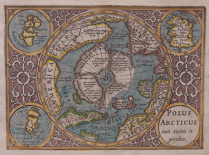
I have to say that sidharthabahadur and Dean have had an interesting observation / proposition in the post linked to here about Mercator's map of the North Pole:
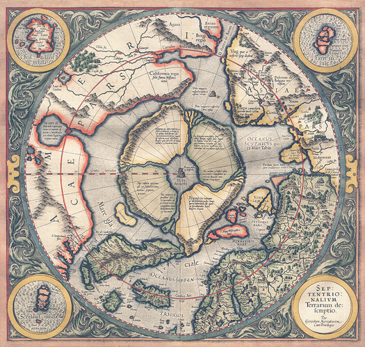
In a 1577 letter to John Dee, an English mathematician and astrologer, Gerhard Mercator explains (Princeton article) his depiction of the North Polar region:
In the midst of the four countries is a Whirl-pool . . . into which there empty these four indrawing Seas which divide the North. And the water rushes round and descends into the earth just as if one were pouring it through a filter funnel. It is four degrees wide on every side of the Pole, that is to say eight degrees altogether. Except that right under the Pole there lies a bare rock in the midst of the Sea. Its circumference is almost 33 French miles, and it is all of magnetic stone. . . . This is word for word everything that I copied out of this author years ago. [E. G. R. Taylor, "A Letter Dated 1577 from Mercator to John Dee," in Imago Mundi 13 (1956), p. 60.]
The Princeton article goes on to say:
The identity of the author cited by Mercator, a "Jacobus Cnoyen of Herzogenbusch," has never been established. Jodocus Hondius acquired the printing plates in 1604; later editions of the Hondius version of the map show the separation of Greenland and the re-drawing of polar coastlines, particularly in the Spitsbergen and Novaya Zemlya areas, as the demythologizing of the Arctic continued by explorers and whalers.
I find the idea of the water encircling the northern continents to be very interesting.
We have talked previously about the crust being much thinner at the poles (it really being an impossibility of having the same crustal thickness at the poles as of the equatorial zone) and there being MANY observations by many sailors and explorers about various openings. This certainly does go a long way to explain so many different experiences.
It is actually perhaps not only possible, but likely that the "islands" (in reality comparable in size to continents) are indeed from explorers/sailors experiences of going INSIDE of the "abyss" or into the various northern openings.
The Jansens perhaps experienced this and described it in their very limited perspective in The Smoky God.
Let's look at the map(s) again with this in mind:
Princeton image:
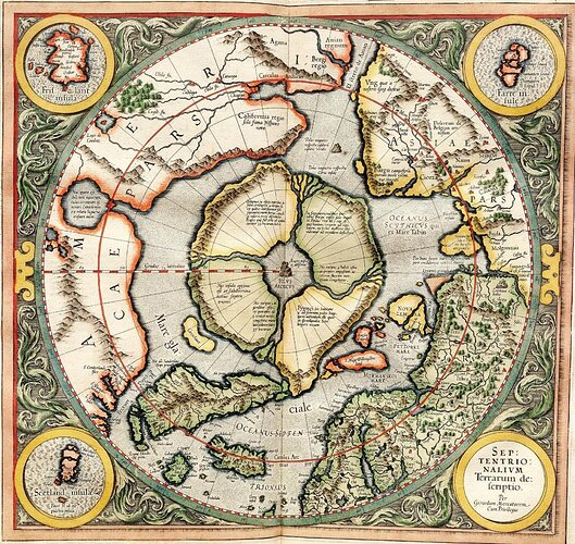
More contrast from Wikipedia upload:
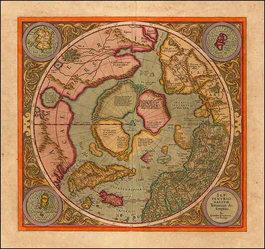
Different edition with missing shore on the Europe/Russia corner:
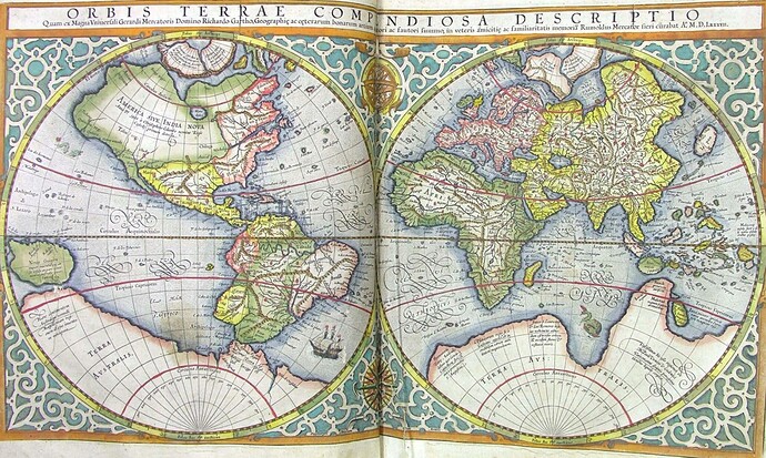
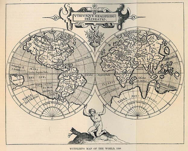
Larger full world (outer surface) view, but still having the North Polar presentation that could indeed be the inner continents northern edges or micronized version of them or such:
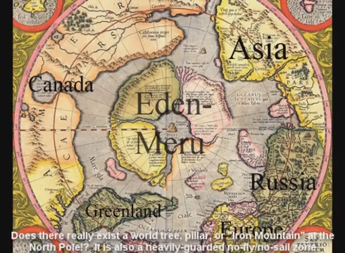
Someone labeled things:
Wytfliet (1598) presented a similar or the same production:

