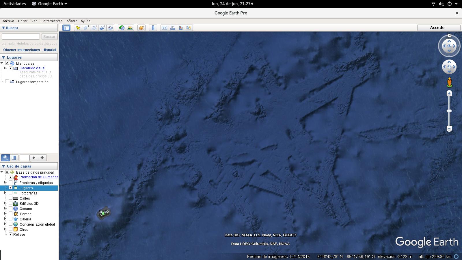
This is something really strange found on the ocean floor -my gut feel is whatever these structures are,
they lead to some place underneath the ocean floor :-
What are these underwater structures near 6°N 85°55'W
While google earth-researching the sea floor near Malpelo and Cocos Islands (Colombian and Costa Rican Pacific Ocean), I came along these strangely geometrical structures in the sea floor, located around 6°N, 85°55'W. I'm fascinated with the look and the geometric perfection they have, and have waited to ask this question for about 3 years, until today that I realized there's a Stack Exchange site dedicated to earth sciences (I'm not an earth scientist, just a maps enthusiast).
At first I thought they could be due to the path the satellite was traveling at the moment the image was captured, but then I realized there are depth differences in excess of 300m. I find the paralelism of the lines that form the "beams" surprisingly perfect, and the width of the "elements" very consistent (about 7 to 8km, according to google earth's ruler). Near 6°22'N 85°45'W there's a circular "dent" of about 4 𝑘𝑚2
that is very perfect regarding ovality.
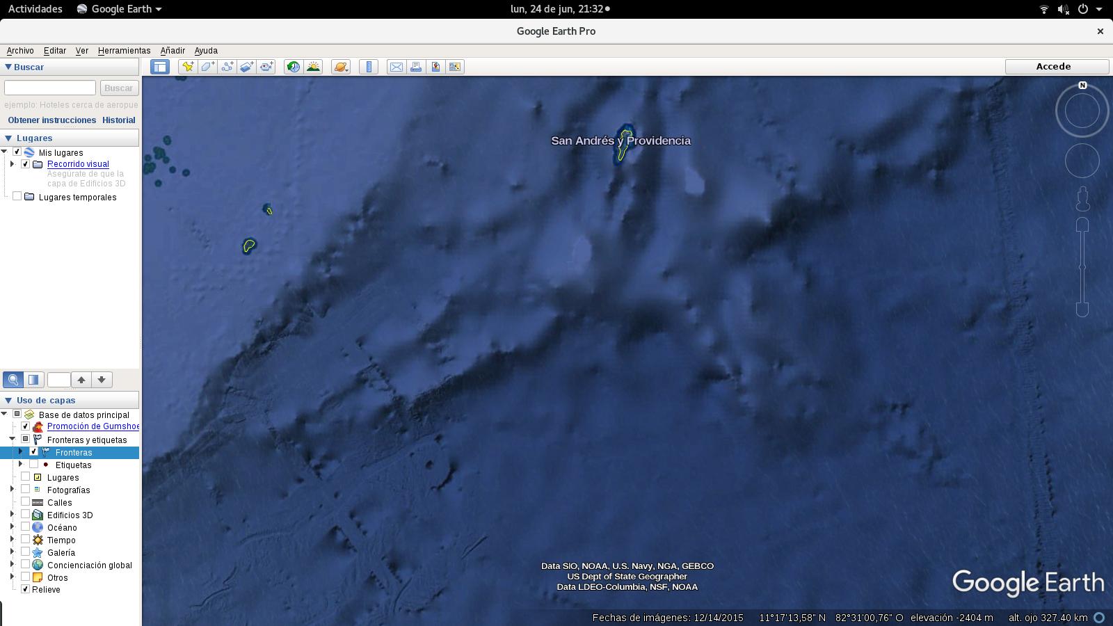
I found something similar about 670km NE from there, around 11°10'N 82°41'W (160km SW from San Andres Islands, in the Colombian Caribbean). While the structure here is less complex (there's only one "beam" and a concentric circular structure), the width of the "beam" (6km) seems similar to the one near Cocos (the depth differences range between 300 and 500m from the structures to the normal sea floor).
What are these things?
Are they glitches in the images from the satellite, that coincidentially look like beams? If so, why are depth differences so significative?
Are they rocks or some other kind of geological formations? How did they get that shape, and where else cand I find more similar?
Regards


