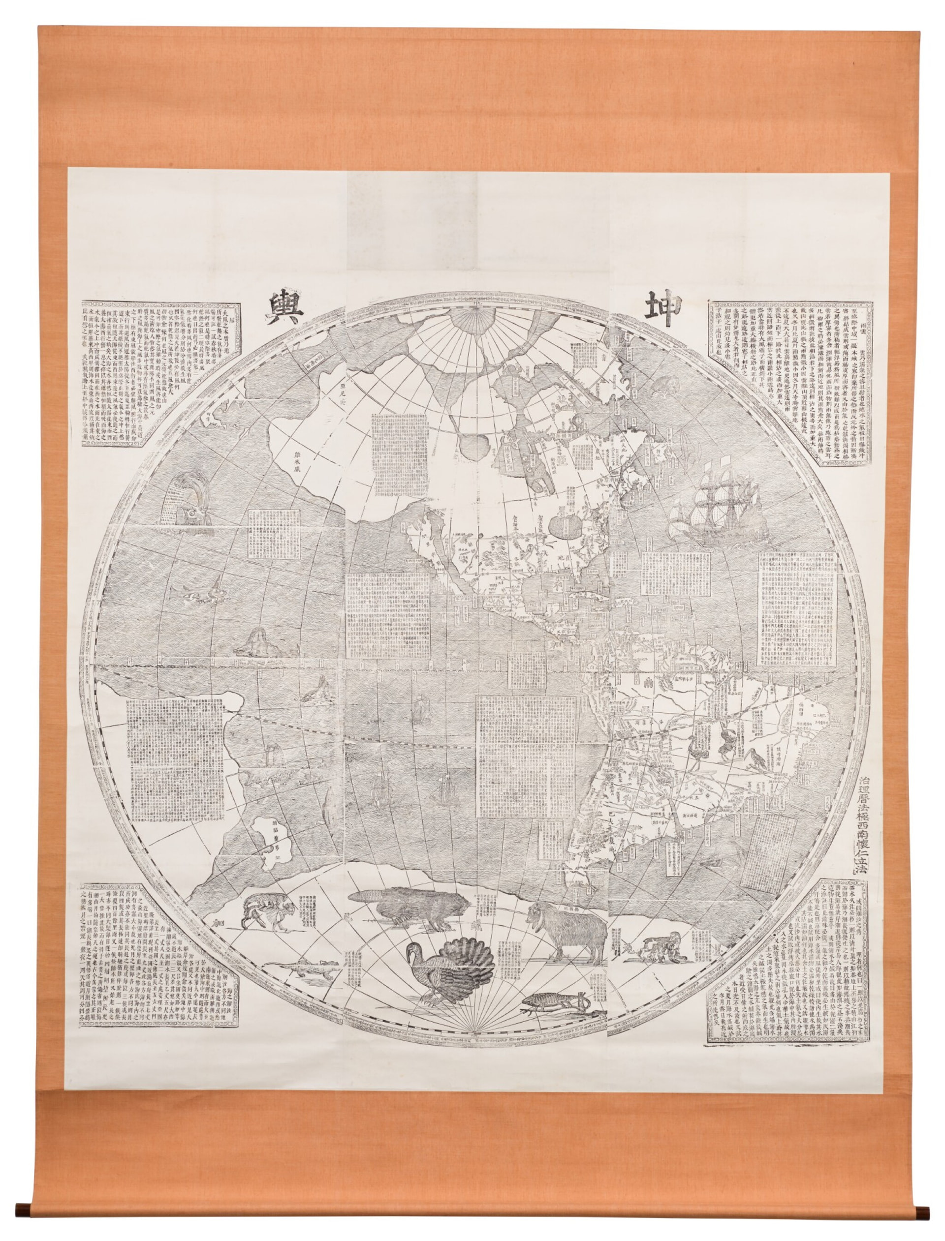
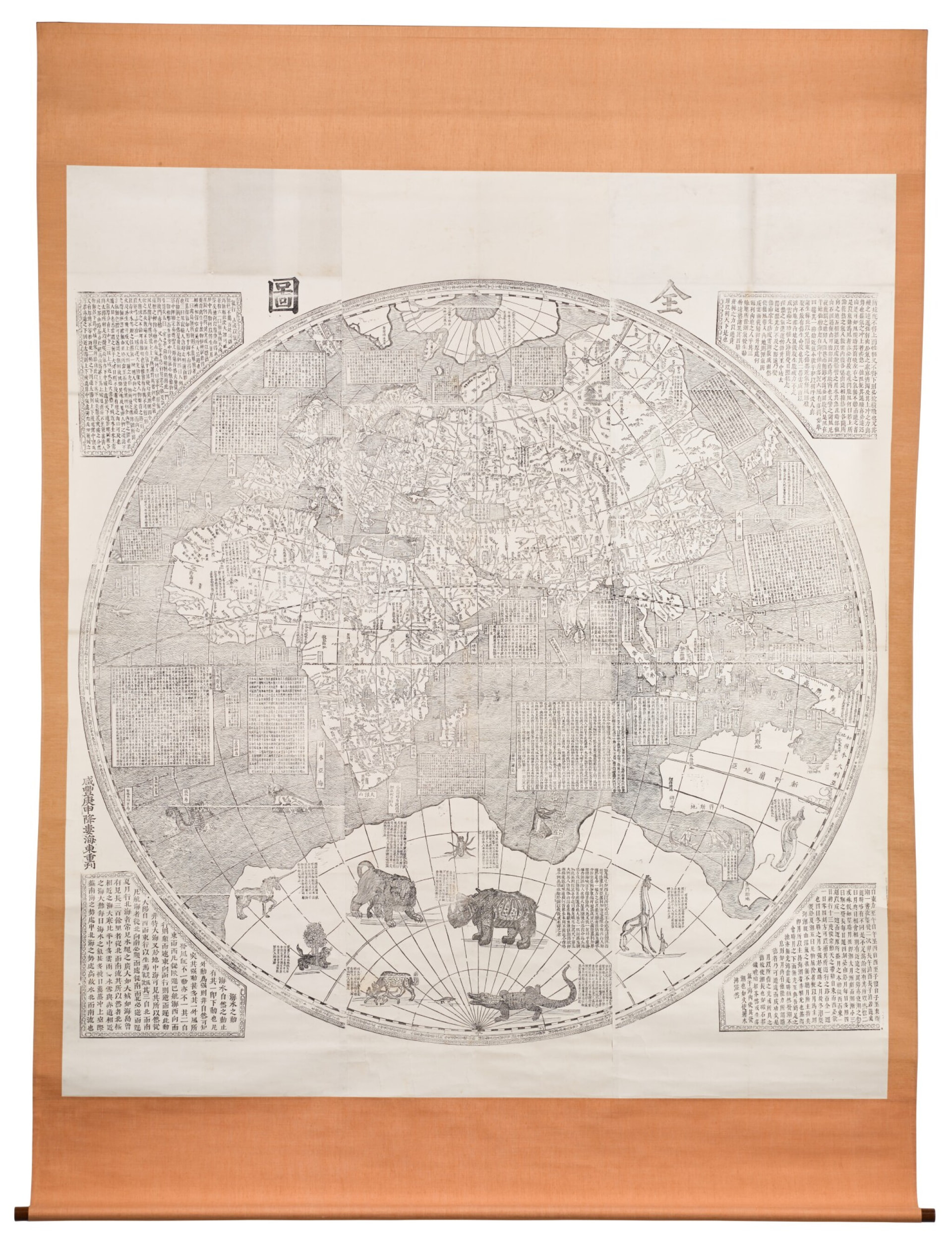
EDIT: after some hunting, I did find larger versions of these maps and stitched them together, but so far they are too large to upload and share here so I'll look for some other options.
as could be seen, I have use it earlier for that large stitched map of whole Macedonia as region with its slavic toponyms as were existing before the past century balkan wars, tho the scanning was not flawless while the map extra large, it was scanned by oldskul means 20 years ago, and it is as it is, here is video with the same [1]
actually first it was uploaded on https://zoom.it but that service evaporated for a while, thus started to use easyzoom instead ...