Originally published by Dean De Lucia on his site holloworbs.com/radarsat.htm and relocated here by his request.
Antarctic Opening?
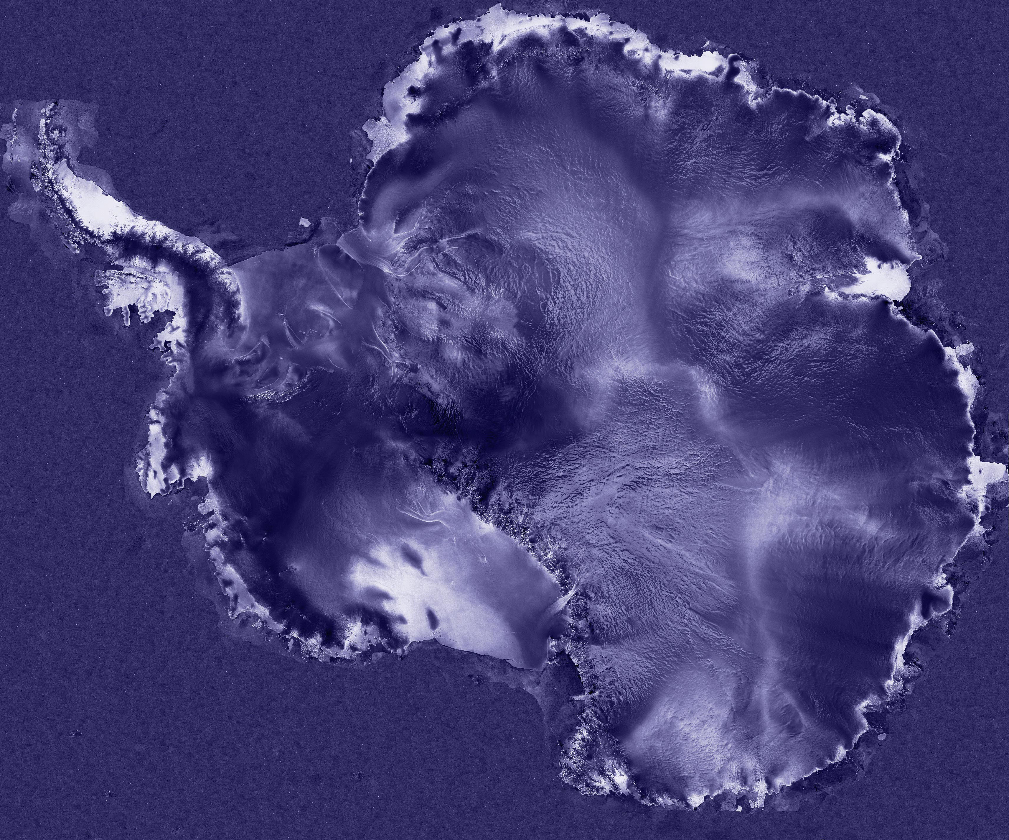
" If you blow up the RadarSat image of the area I have identified as the south polar opening, you can see fog coming up out of the opening on the right side of the dark area. Now why would fog be coming up out of this area if it's not the opening? I think this fog may be our first clue that this is the area we have been looking for.
Also, notice that towards the top left is an area where there is a lot of icebergs that regularly break off the Antarctic ice and that there is a definite flow of ice from this dark circular area located at what I estimate to be 84.4* S Latitude, 39* E Longitude. Looking at the edges of this dark area of low radar reflectivity I see a definite depression. On the sides you can see clearly the surface details which taper off in in clarity towards the dark area caused by the sloping angle as you enter the depression.
I think we all need to take another close look at this Radarsat image. We need to consider the fog coming out of it, the tapering off of the reflectivity with change of slope, and the flow of ice from this direction." (Rod M. Cluff )
Several years after the above comment by Rod, we can say that a closer look has been taken of the Radarsat image by Damir Pavicic, who set up a Radarsat album on Photobucket with suitable closeups.

The series of images in the Radarsat album show sidelong views of the southern orifice to the hollow earth (exempli gratia above). Where the Sun shines directly against the inner rim, there is glare; but immediately to the right of that glare there is indirect lighting such that some detail of the inner rim can be seen.
In the image below, further outline of the Antarctic continent can be seen.

And finally, the French astronomical magazine Ciel et Espace published the two images below which reinforce and corroborate the position of the southern hemisphere orifice with a broader, more encompassing satellite photo.
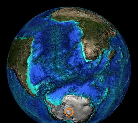
In the following image, another angle of view is provided ...
Dean's Corner · Contents · Section: Polar Evidence of a Hollow Earth — Articles and Images · ← Marshall B. Gardner on the Poles: Chapter IV of Bernard's The Hollow Earth · The ZR-1: Commander Green in Popular Science Monthly, December 1923 →
Pages of interest
Polar Warming · Curvature Anomalies · Ring Around the Opening · Circular, Compacted as if Linear · Mammoth · Chapter Four from Gardner · Icebergs from the Inner Earth · ZR-1 · Greenland Vikings · Antarctic Ozone Image · Frobisher Map · Location of Polar Orifice · Pravda Article · Upwards Aurora · Aurora Australis Marks The Spot · Hollow Orbs Home